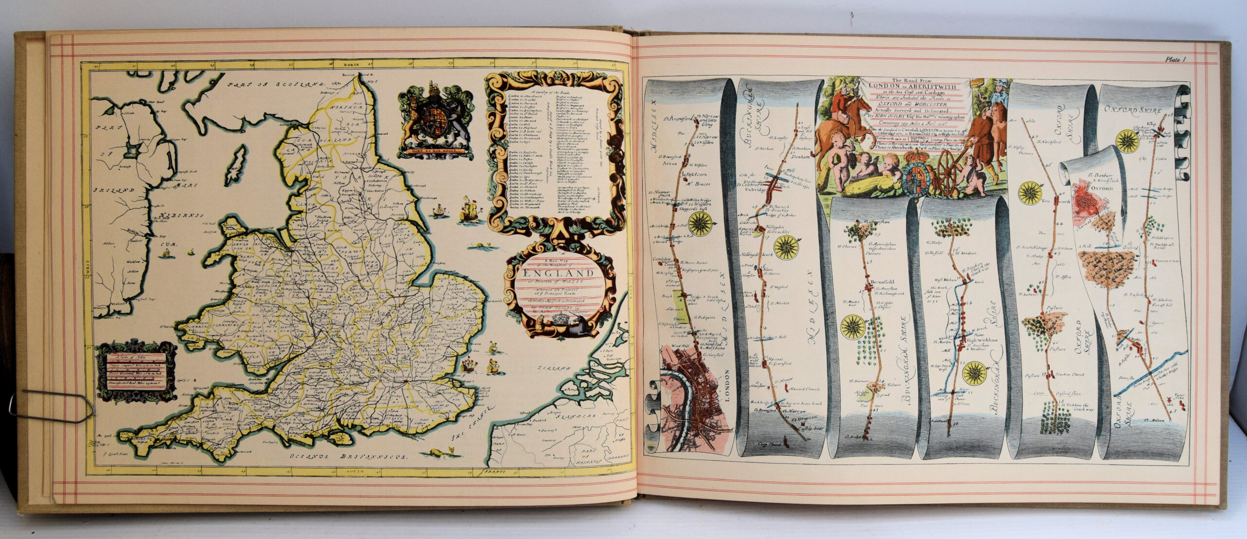
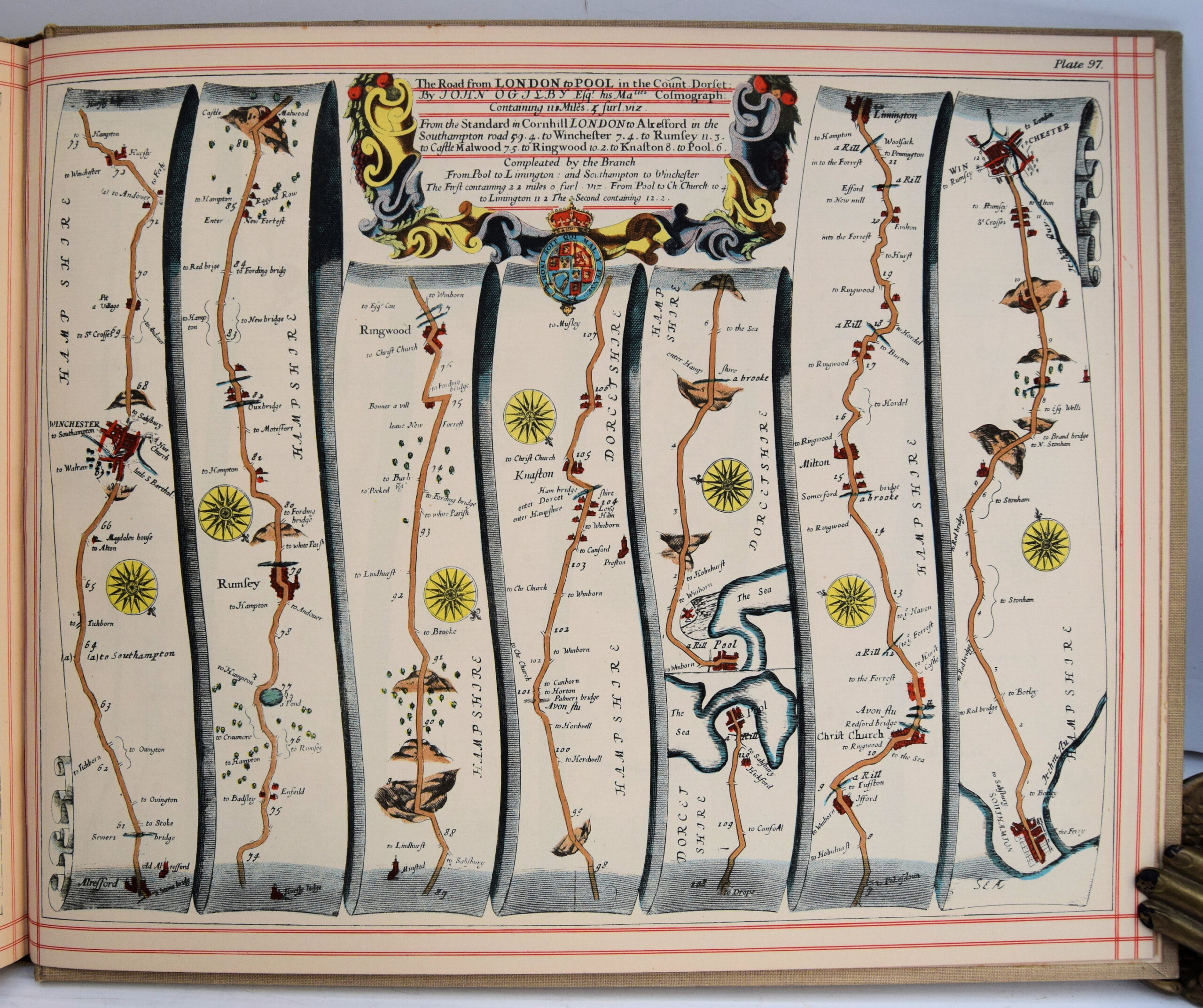
Britannia, Volume The First: Or, An Illustration Of The Kingdom Of England And Dominion Of Wales: By A Geographical And Historical Description Of The Principal Roads Thereof.
£70.00
Publisher
Alexander Duckham and Co. Ltd.
Place
[London]
Date
1939
Synopsis
Actually admeasured and delineated in a century of whole-sheet copper-sculpts. accomodated with the ichnography of the several cities and capital towns; and compleated by an accurate account of the more remarkable passages of antiquity, together with a novel discourse of the present state. by john ogilby esq., his majesty's cosmographer, and master of his majesty's revels in the kingdom of ireland. london, printed by the author at his house in whyte-fryers. m.dc.lxxv.
Item Description
Folio. 10 x 12.5 inches. [8] pp. + 100 maps. Ex-Folkestone Public Library copy, with stamps, bound in cream cloth, with red title labels, gilt. Extremities a little worn and flyleaves browned, but otherwise a very good copy. Introductory note by A. Duckham, publisher, fixed to front pastedown. Illustrated by vignette title and general map of England and Wales and 100 plates of road maps, each containing six strips per double page. Facsimile reprint. Published in 'Britannia', the famous strip road maps of John Ogilby (1600-75), Scottish translator and cartographer, were the first engraved sheets to map England's roads. They combine decorative title cartouches with the detailed and practical arrangement of sections or strips.
[Stock No. 30013]