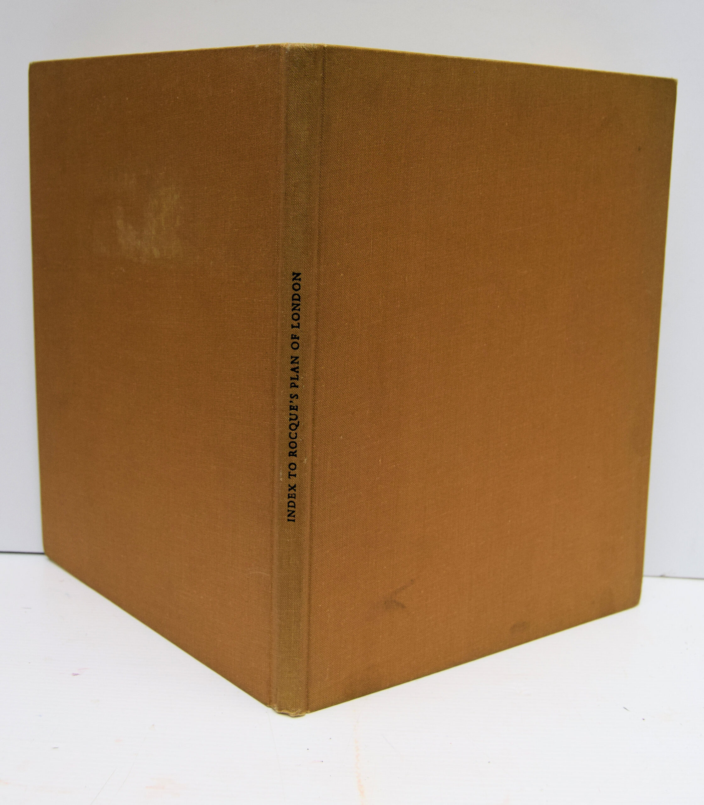
An Alphabetical Index Of The Streets, Squares, Lanes, Alleys, Etc. Contained In The Plan Of The Cities Of London And Westminster And Borough Of Southwark,
£25.00
Publisher
Published jointly by Harry Margary, Lympne Castle, Kent and Phillimore and Co.
Place
Lympne / Chichester
Date
1971.
Synopsis
With the contiguous buildings; engraved by john pine bluemantle, pursuivant at arms, and chief engraver of seals, etc. to his majesty; from an actual survey made by john roque; and printed on twenty-four sheets of imperial paper; with references for the easy finding the said places.
Item Description
4to. 11.5 x 8.75 inches. xi + 46 pp. + [1] pp. Table of Contents, Bound in original buff cloth, with black titles. Minor wear to extremities, but otherwise a very good copy. Illustrated by folding plan of London and by diagram in text. Decorated by endpiece vignette Originally printed for John Pine, Piccadilly and John Tinney, Fleet Street, London, 1747. Facsimile edition with the assistance of the London Topographical Society, who reproduced the Index in 1968, and Rocque's Plan (1746) in twenty four sheets in 1913-19. John Rocque (c.1704-62) was a French born, of Huguenot origin, surveyor, cartographer, engraver and map seller.
[Stock No. 29884]